

Incentives to Retire Water Rights Have Reduced Stress on the High Plains Aquifer
Highlights:
-
Within the region eligible for USDA’s Conservation Reserve Enhancement Program (CREP) in the Upper Arkansas River (UAR) basin in Kansas, which overlies the High Plains Aquifer, farmers who enroll in the program tend to have more marginal land and higher rates of groundwater depletion than farmers who do not enroll in the program.
-
In the short term, an acre of irrigated land retired in the UAR CREP represents 1.28 acre-feet of water annually that would have been used otherwise.
-
In the absence of the UAR CREP, long-term water use of farmers enrolled in the program would likely be substantial as well.
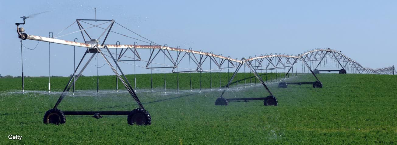
In drier parts of the United States, irrigation increases the productivity of farms growing most major crops. Agriculture in the semi-arid High Plains region largely relies on the availability of groundwater from the High Plains Aquifer, which spans portions of eight States—Colorado, Kansas, Oklahoma, Nebraska, New Mexico, South Dakota, Texas, and Wyoming. In several parts of this region, significantly more groundwater is extracted than is returned to the aquifer each year, leading to declining water levels.
Lower groundwater levels can increase energy costs for pumping, decrease stream flows in nearby rivers, and eventually make irrigated agriculture infeasible. To help maintain the long-term viability of irrigated agriculture in regions with significant groundwater depletion, several States have taken measures to reduce the amount of groundwater authorized for use each year through USDA’s Conservation Reserve Enhancement Program (CREP). This Federal program partners with individual States to identify regions with high-priority environmental or resource concerns and provides incentives to farmers in these regions to temporarily retire their cropland. Approved State proposals for CREP funding, or CREP projects, can enroll up to 100,000 acres of cropland—with States contributing 20 percent of total program costs through direct payments, technical assistance, or other in-kind contributions.
CREP projects in Colorado, Idaho, Kansas, and Nebraska specifically focus on retiring irrigated cropland to reduce stress on limited water resources, reduce the amount of nutrients entering local waterbodies, and help achieve other environmental objectives. To be eligible, cropland must meet minimum requirements of water use, ensuring that only farmers who irrigate intensively enroll in the program. Producers that participate in each CREP project in these four States are potentially eligible to receive several types of payments: a one-time incentive payment, annual rental payments for a long-term contract (10 to 15 years), cost-share assistance for installing conservation practices, and one-time practice incentives for a subset of practices such as riparian buffers.
However, there are important differences across projects in these States. The Idaho and Nebraska CREP projects require farmers to cease irrigating enrolled land for the duration of their contract but allow them to continue irrigating after their contracts end. By comparison, the programs in Colorado and Kansas require that farmers retire their water rights in perpetuity, effectively reducing the amount of water allocated in the region.
The CREP project in the Upper Arkansas River (UAR) Basin in Kansas is one such example of efforts to reduce water use. The State of Kansas has collected extensive data on annual water use, allowing detailed measurement of the impacts of the water rights retirement program in the UAR Basin. Many of the behavioral insights from the study are likely to apply to the other CREP projects that retire irrigated cropland, two of which are in the High Plains region (the Colorado and Nebraska projects), and have similar eligibility requirements and incentives. The Kansas program aims to reduce the amount of groundwater used for irrigation, improve groundwater levels, increase stream flow in the Arkansas River, and protect water quality in the policy region. The program began in 2008 and is still active. In exchange for program payments, farmers who participate in the UAR CREP must adopt an approved conservation practice and permanently retire their water rights. Eligible conservation practices, such as establishing native grasses or wildlife habitat, must be in place for the duration of the contract. Once the contract ends, the farmer may return to dryland (non-irrigated) agriculture on the enrolled land.
The policy region covers two parts of the High Plains Aquifer system underlying Kansas, managed by two separate Groundwater Management Districts (renamed the Western and Eastern Districts in the map below). Most enrolled water rights to date have occurred in the Western District, which is drier and relies more heavily on irrigation.

Unenrolled land tends to have different characteristics than enrolled land
Despite declining water levels in the region, only a subset of farmers has found it beneficial to enroll in the program. As of mid-2018, about 3 percent of irrigated cropland in the policy region had been enrolled in the program. Enrolled farmers differ from unenrolled farmers in the policy region in several important ways that may influence water use. Farmers who enroll in CREP tend to have more highly erodible land with higher slopes, lower quality soil (as measured by the National Commodity Crop Productivity Index), and higher rates of depletion in saturated thickness (i.e., the amount of water remaining in the aquifer). Enrolled farmers also tend to grow alfalfa, rather than corn or wheat. In general, these differences suggest that farmers with more marginal land and lower returns from irrigation are more likely to enroll in the program. While enrolled farms have higher levels of saturated thickness than unenrolled farms, this is because most enrollments are in the Western District, where the aquifer tends to be deeper. After controlling for other factors, higher saturated thickness levels actually decrease the probability of enrolling in the program.
| Unmatched sample | Matched sample | |||
|---|---|---|---|---|
| Variables | Not enrolled | Enrolled | Not enrolled | Enrolled |
| Wind Erosion Index | 91.91 | 178.7 | 171.8 | 181.0 |
| National Commodity Crop Productivity Index | 0.325 | 0.183 | 0.191 | 0.183 |
| Slope gradient (percent change) | 3.172 | 8.506 | 9.329 | 8.687 |
| Saturated thickness in 2008 (in meters) | 38.30 | 43.26 | 47.09 | 43.33 |
| Saturated thickness change per year (in meters) from 1996 to 2008 |
-0.443 | -1.084 | -1.038 | -1.081 |
| Corn grower | 0.400 | 0.205 | 0.252 | 0.206 |
| Alfalfa grower | 0.227 | 0.595 | 0.523 | 0.604 |
| Wheat grower | 0.172 | 0.0922 | 0.0927 | 0.0925 |
| Number of observations | 2,332 | 104 | 98 | 98 |
| Notes: Each row of the table provides averages for each sample of farmers for a different variable of interest. For example, enrolled farmers in the matched sample have an average saturated thickness of 43.26 meters and 20.5 percent are corn growers. The Wind Erosion Index is a measure of how susceptible soils are to wind erodibility. The National Commodity Crop Productivity Index tries to measure the inherent productivity of soils for producing non-irrigated commodity crops. The slope gradient represents the average percent difference in elevation between two points on a plot of land. Saturated thickness is the height of water from its bedrock. Source: USDA, Economic Research Service using soil data from USDA, Natural Resources Conservation Service, Soil Survey Geographic Database; saturated thickness data provided by Erin Haacker of the University of Nebraska-Lincoln; and data on crops grown from the Water Information Management and Analysis System database from the Kansas Department of Agriculture and Kansas Geological Survey.. |
||||
Reduced aquifer extraction from enrolled acreage is likely to be similar to the average water use of irrigators in the Western District, which has more rapid aquifer depletion
Is the UAR CREP effective at reducing water use? To answer this question, one must determine how much water would have been used by farmers who retired their water rights in the absence of the policy. Because retired rights cease irrigating, these hypothetical water use levels must be inferred by observing water use by farmers who had similar characteristics but did not enroll in the program. This matching process compared 98 unenrolled farmers and 98 enrolled farmers who were similar based on various factors, including which district managed their groundwater, several soil quality characteristics, aquifer characteristics, farm size, average water use, water use trends, and crops grown. The matched sample was used to analyze how much water use was reduced due to the UAR CREP.
The analysis shows that water use reductions attributable to the program have been substantial in the first 10 years after program initiation in 2008. Specifically, for every acre of land retired, water use was reduced by about 1.28 acre-feet of water annually. This is higher than the average per acre use for the Western District, probably because about 60 percent of enrolled farmers are alfalfa growers who use significantly higher levels of water than growers of other crops in the area.
Comparisons of long-term trends in water use and saturated thickness across groups of farmers are another indicator of program effectiveness. This analysis looked specifically at trends from 1996 to 2017, encompassing years both before and after program initiation. Water use trends of unenrolled farmers from the matched sample give an idea of how much farmers with rights retired through CREP would have used had they not retired their water rights. Unenrolled matched farmers decreased their water use by 0.94 percent a year on average relative to their 1996 water use, while the average farmer in the Western district decreased water use by an average of 0.64 percent a year relative to 1996 levels. Furthermore, unenrolled matched farmers had greater annual aquifer depletion—0.27 meters, or nearly a foot—more than the average for all unenrolled farmers in the Western District. In the second half of that period (since 2008) depletion trends were more similar, with unenrolled matched farmers experiencing only 0.16 meters greater annual depletion than the average for all unenrolled farmers in the Western District.

These trends suggest that the program attracts participants that are largely representative of the Western District, which has had the most significant aquifer depletion. Thus, a larger scale program could potentially lead to similar reductions from new enrollments, though it would likely require higher incentive payments to encourage farmers not already enrolled to retire their water rights.
Conclusion
Water rights retirement programs like CREP can attract high-water-use farmers and help reduce stress on scarce water resources. Although the particular water use reductions of the UAR CREP depend on factors unique to the region, this analysis may provide insight into the likely effects of existing or potential water rights retirement programs in other regions. First, the eligibility requirements common to the four CREP projects that retire irrigated cropland appear sufficient to target actively irrigated cropland and thus decrease stress on scarce water resources. Second, this study suggests that without the program, the marginal land most likely to enroll would have continued using high water levels into the future.
Rosenberg, A. B. “Targeting of Water Rights Retirement Programs: Evidence from Kansas”, American Journal of Agricultural Economics. https://doi.org/10.1111/ajae.12102, October 2020
Irrigation & Water Use, by Aaron Hrozencik, USDA, Economic Research Service, September 2023
Conservation Programs, by Steven Wallander, USDA, Economic Research Service, September 2023
2018 Farm Act Retains Conservation Programs But Could Reduce Payments for Land Retirement, by Roger Claassen, Daniel Hellerstein, and Steven Wallander, USDA, Economic Research Service, December 2019
Agricultural Resources and Environmental Indicators, 2019, by Daniel Hellerstein, Dennis Vilorio, Marc Ribaudo, Marcel Aillery, Daniel Bigelow, Maria Bowman, Christopher Burns, Roger Claassen, Andrew Crane-Droesch, Jacob Fooks, Catherine Greene, LeRoy Hansen, Paul Heisey, Claudia Hitaj, Robert A. Hoppe, Nigel Key, Lori Lynch, Scott Malcolm, William D. McBride, Roberto Mosheim, Richard Nehring, Glenn Schaible, David Schimmelpfennig, David Smith, Stacy Sneeringer, Tara Wade, Steven Wallander, Sun Ling Wang, and Seth J. Wechsler, ERS, May 2019
Irrigated Agriculture in the United States, USDA, Economic Research Service, August 2019
Understanding Irrigated Agriculture, by Glenn Schaible, USDA, Economic Research Service, June 2017