

Frontier and Remote (FAR) codes pinpoint Nation's most remote regions
- by John Cromartie
- 5/14/2015
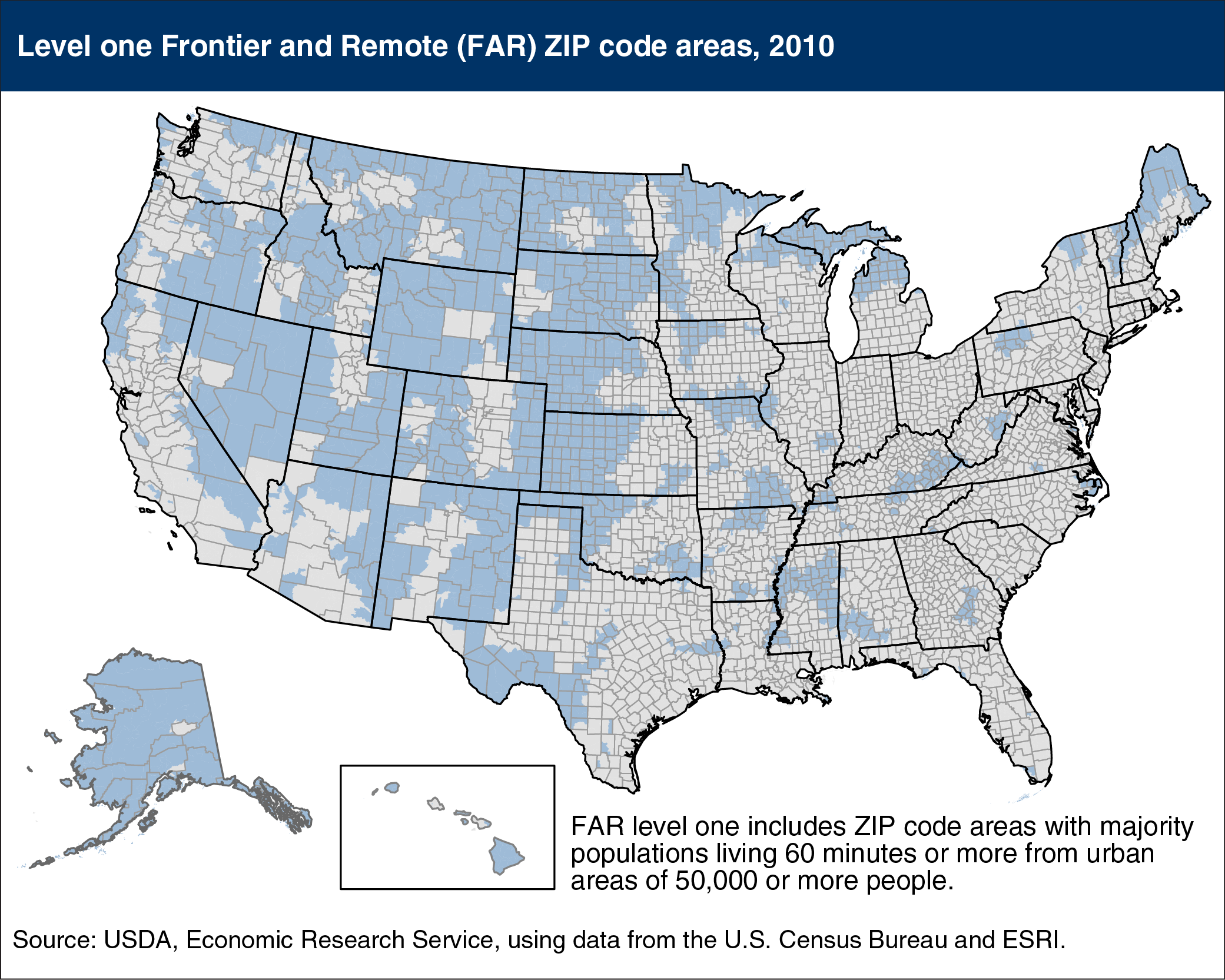
Small population size and geographic remoteness provide benefits for residents and visitors alike, but those same characteristics often create economic and social challenges. Job creation, population retention, and provision of goods/services (such as groceries, health care, clothing, household appliances, and other consumer items) require increased efforts in very rural, remote communities. The newly updated ERS Frontier and Remote area (FAR) codes identify remote areas of the United States using travel times to nearby cities. Results for level one FAR codes (which include ZIP code areas with majority of their population living 60 minutes or more from urban areas of 50,000 or more people) show that 12.2 million Americans reside more than a one-hour drive from any city of 50,000 or more people. They constitute just 3.9 percent of the U.S. population living in territory covering 52 percent of U.S. land area. Wyoming has the highest share of its population living in FAR level one ZIP code areas (57 percent), followed by Montana, North Dakota, South Dakota, and Alaska. This map, along with the full detail of FAR codes levels 1-4 may be found in the ERS data product, Frontier and Remote Area Codes, updated April 2015.